How can Lawson help and what utility locating services do they provide?
Utility Locating
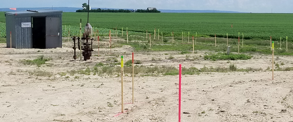
Upon being called to a job site, our service technicians will locate the utilities within the specified work area. They will identify and mark the utilities with a corresponding paint mark or pin flag in the appropriate color according to the uniformed color codes used by the CPWA.
We use multiple locating methods while onsite to ensure the discovery of all the locatable underground utilities.
In doing so, our crews follow a comprehensive procedure made up of 6 steps:
-
Trace all surface features within the work area through direct connection.
-
Verify routes of surface features outside the work area through direct connection.
-
Verify routes of utility feeds to the adjacent buildings through direct connection.
-
Perform passive scans by sweeping circumference or grid scanning using all frequencies.
-
Perform an inductive scan by dropping the transmitter in strategic areas.
-
Perform two-man sweeps.
Upon completion of the utility locating, we create electronic sketches and findings reports as part of our standard deliverables. Advanced reports for all services and commentary on images are also available upon request.
Utility Mapping
We can also use one of our survey grade GPS systems to collect coordinate points of where the utilities were marked to a high degree of accuracy. These coordinates are processed by a technologist in our office, who will import them into our CAD software and create a scaled 2D map of the work area.
This final completed 2D CAD map with overlaying utility lines and approximate depths is then sent to you in a variety of file types to provide you with all the information needed to proceed with the project.
Sweeps
As part of our line locating procedures our crews can use their locating equipment to inductively place a signal on any metallic buried facility that you may or may not know about. A sweep consists of two people walking in parallel for the entire length of the Right of Way or work area, then turning around and coming back at a 45-degree angle. The crew then switches the direction of this technique twice. This is commonly referred to as a 4-way sweep is an industry best practice.
GPS Mapping
Lawson can work with you using a variety of technologies and mapping services to identify line locations, helping you get a clear and concise analysis of your designated underground location.
Using GPS technologies and ground penetrating radar equipment (GPR), we can provide CAD drawings and utility maps for precise and accurate mapping information about the subsurface utilities.
We perform grid sweeps to locate subsurface utilities at varying angles to ensure that underground facilities oriented at oblique angles are detected. This sweep will be conducted on all sides of the work area and any other area that the ground disturber determines will be disturbed.
Why is a digital CAD drawing or utility map better than utility lines that are marked by paint?
A digital CAD drawing and utility map offers additional long term benefits versus utility lines that were typically marked by paint on the surface of the ground because pain can be washed away or removed when grass is cut.
A digital CAD drawing and utility map offers a long term digital map of the electrical, gas, water, sewer or fiber optics landscape, significantly reducing the risk of causing a disturbance to the subsurface utilities.

Lawson is a consulting, locating, and surveying company with offices throughout Canada. Please contact any office and we will ensure that you are directed to a professional able to assist you with your inquiry.
Grande Pointe, MB (Head Office)
BUnit 1 - 638 Discovery Drove, R5A 0B7
x204-414-3169
G204-691-9933
Ainfo@lawsonsurveys.com
Virden, MB
B221 Nelson Street W, R0M 2C0
x431-301-4545
Calgary, AB
B214 - 5723 10th Street NE, T2E 8W7
x403-774-4071
Edmonton, AB
B100 - 18115 105 Avenue, T5S 2L5
x780-669-4799
Barrie, ON
B418 Blake Street, L4M 1L3
x705-812-2418
